
This hike was the 24th I had taken out of the 26 that are reviewed in the Easy Day Hikes book. I was anticipating the finish of that effort, one I had begun about two and a half years before. At the same time, I was feeling a little confident of my ability to navigate the blue blazes, and since many of these hikes are short, not too strenuous, I combined this one with the Story of the Forest Trail, which I posted about last week. The result was a stitched together hike with a short AT section of about a mile. This route is easily found on the NPS trail maps in the Big Meadows area.
I happened to be wearing my technical fabric AT tee shirt (shout out to the gang at Appalachian Outdoors Adventures) that day, with its distinctive white blaze marking…about half way along the AT section on my way to the Lewis Spring Falls trailhead I encountered a group of four thru-hikers who announced that they probably should turnaround and “follow that white blaze” – since that guy probably knows where he is going.
Heatwole describes the Lewis Falls trail as about 3.3 miles as a circuit – or out-and-back – hike, with an altitude change of 990 feet – pretty steep. In the Easy Day Hike book, they review the same route; as I am looking at the two books while writing this I realize that I went a third way the first time I took the trail, since I was freelancing a combo with the little Story of the Forest Trail. Mary and I have also done this hike from the parking area at the Big Meadows visitor center, using the fire road as a part of the hike. My route that day may have totaled five miles.

The route from the visitor center will take you through ferny glades and flowery meadows. Later, when Mary and I repeated the hike to the falls, a few weeks after my spring hike, there were butterflies all around, including tiger and black swallowtails, and monarchs.
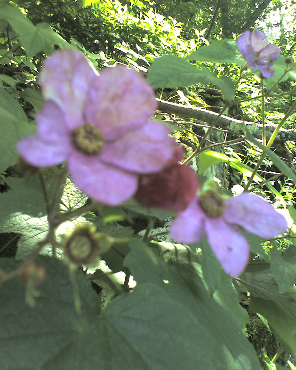
The trail to the falls gets interesting fairly quickly. You pass a well house and then step into the woods, descending through a series of switchbacks along a ridge. During the summer, the undergrowth can be thick in places along the trail due to the plentiful moisture. On my first trip, there were glades of wild hardy geraniums (my guess, any botanist readers can correct me after checking out the photos!).
 At last, you arrive at a level spot at the head of the falls – there is a sign warning visitors not to explore the cliff due to the danger. Instead, continue a few hundred yards further on a pathway marked by an iron railing – this will take you to the view point. The falls is at the top of a ravine that cascades on down the mountain, and from here the stream becomes Little Hawksbill Creek – one of the sources for the Hawksbill Creek that runs through Luray. In fact, little Hawksbill becomes a boundary for the Wisteria Vineyard and Jordan Hollow Farm Inn properties in the neighborhood of Hawksbill Cabin.
 The steepness and rockiness of this trail can offer tricky footing, but the switchbacks definitely keep it navigable for most casual adventurers. I like this hike very much – in fact, of the 26 day hikes in the Easy Day Hikes book, I’d put this one in my top five…I guess I just made up two future posts out of this topic – top five and worst five (I should say “five least favorite, actually).
Here's the link to the Easy Day Hikes book...and remember, you can also pick up a copy at Appalachian Outdoors Adventures in Luray.
No comments:
Post a Comment